
فائل:Arabian Peninsula (orthographic projection).png

هن پيش-نگاھ جي ماپ: 600*600 پڪزلس. ٻيا تحلل:240*240 پڪزلس | 480*480 پڪزلس | 768*768 پڪزلس | 1,024*1,024 پڪزلس | 2,000*2,000 پڪزلس
اصلوڪو فائيل (2,000 × 2,000 عڪسلون، فائيل سائيز: 666 KB، MIME ٽائيپ: image/png)
.png)
تَتُ
| تشريح |
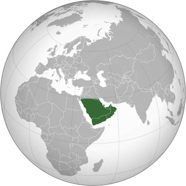
English: The Arabian Peninsula العربية: شبه الجزيرة العربية |
| تاريخ | |
| ذريعو | ڪم پنھنجايو |
| ليکڪ | Afrogindahood |
لائيسنسڪاري
| This map is ineligible for copyright and therefore in the public domain, because it consists entirely of information that is common property and contains no original authorship. For more information, see Commons:Threshold of originality § Maps.
|
فائيل جي سوانح
ڪنھن بہ تاريخ/وقت تي ٽڙڪ ڪري ڏسندا تہ ان وقت اهو فائيل ڪيئن هو.
| تاريخ/وقت | آڱوٺي ننھن | ماپَ | واپرائيندڙ | راءِ | |
|---|---|---|---|---|---|
| موجود نسخو | 14:14, 7 مارچ 2023 | | 2,000 × 2,000 (666 KB) | Treetoes023 | Reverted to version as of 23:11, 6 January 2020 (UTC): This version shows the geographic Arabian Peninsula. |
| 21:24, 24 جنوري 2020 |  | 2,000 × 2,000 (399 KB) | Ham105 | Reverted to version as of 03:49, 7 March 2015 (UTC) | |
| 23:11, 6 جنوري 2020 |  | 2,000 × 2,000 (666 KB) | Sariyr | Reverted to version as of 22:23, 4 January 2020 (UTC): Northern border line between the Gulf of Aqaba and the Kuwait Bay. | |
| 04:06, 5 جنوري 2020 |  | 2,000 × 2,000 (399 KB) | Ham105 | Reverted to version as of 03:49, 7 March 2015 (UTC) unsourced - take it to the discussion page | |
| 22:23, 4 جنوري 2020 |  | 2,000 × 2,000 (666 KB) | Sariyr | Reverted to version as of 02:46, 4 January 2020 (UTC): Northern border line between the Gulf of Akaba an the Kuwait Bay. | |
| 15:37, 4 جنوري 2020 |  | 2,000 × 2,000 (399 KB) | Ham105 | Reverted to version as of 03:49, 7 March 2015 (UTC) | |
| 02:46, 4 جنوري 2020 |  | 2,000 × 2,000 (666 KB) | Sariyr | Northern border line between the Gulf of Akaba an the Kuwait Bay. | |
| 03:49, 7 مارچ 2015 |  | 2,000 × 2,000 (399 KB) | Afrogindahood | User created page with UploadWizard |
ڳنڍڻا
هن فائيل سان هيٺيان صفحا ڳنڍيل آهن.
گلوبل فائيل جو استعمال
ھيٺيون وڪيز بہ ھيءُ فائيل استعمال ڪن ٿيون:
- ar.wikipedia.org تي استعمال
- arz.wikipedia.org تي استعمال
- azb.wikipedia.org تي استعمال
- bn.wikipedia.org تي استعمال
- ckb.wikipedia.org تي استعمال
- cs.wikipedia.org تي استعمال
- el.wikiversity.org تي استعمال
- en.wikipedia.org تي استعمال
- fa.wikipedia.org تي استعمال
- he.wikipedia.org تي استعمال
- hy.wikipedia.org تي استعمال
- hyw.wikipedia.org تي استعمال
- id.wikipedia.org تي استعمال
- it.wikivoyage.org تي استعمال
- kn.wikipedia.org تي استعمال
- mrj.wikipedia.org تي استعمال
- pnb.wikipedia.org تي استعمال
- ps.wikipedia.org تي استعمال
- pt.wikipedia.org تي استعمال
- sc.wikipedia.org تي استعمال
- si.wikipedia.org تي استعمال
- sl.wikipedia.org تي استعمال
- sr.wikipedia.org تي استعمال
- th.wikipedia.org تي استعمال
- ur.wikipedia.org تي استعمال
- uz.wikipedia.org تي استعمال
- vi.wikipedia.org تي استعمال
.png)