
فائل:North Atlantic Ocean laea location map.svg

Size of this PNG preview of this SVG file: 709*575 پڪزلس. ٻيا تحلل:296*240 پڪزلس | 592*480 پڪزلس | 947*768 پڪزلس | 1,263*1,024 پڪزلس | 2,525*2,048 پڪزلس
اصلوڪو فائيل (ايسويجي فائيل، اٽڪل 709 × 575 عڪسلون، فائيل سائيز: 290 KB)
تَتُ
| تشريح |
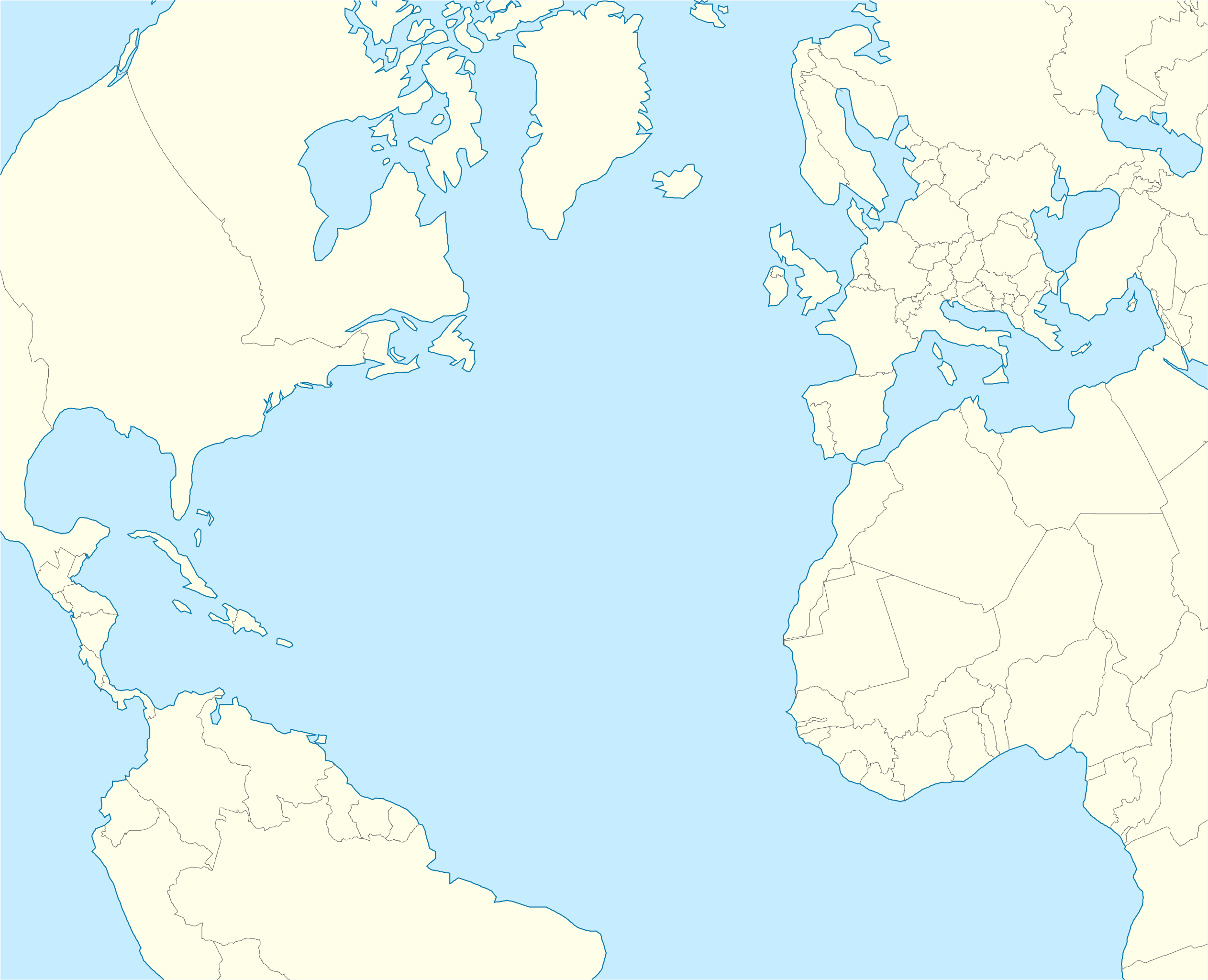
English: Relief location map of Atlantic_Ocean.
|
| تاريخ | |
| ذريعو | ڪم پنھنجايو |
| ليکڪ | Tentotwo |
Shell script for generating the map using GMT archive copy at the Wayback Machine
#!/bin/sh

# Set common options
PROJECTION=A-35.0/35.0/180/19.998266666666666c
REGION=-90.20792279565853/-21.091764445478827/71.02192702284165/38.61651360858501r
FILENAME=North_Atlantic_Ocean_laea_location_map.ps

# Get Natural Earth datafiles
echo "Downloading datafiles from naturalearthdata.com"
wget -nv -nc \
 http://www.naturalearthdata.com/http//www.naturalearthdata.com/download/110m/physical/110m-coastline.zip\
 http://www.naturalearthdata.com/http//www.naturalearthdata.com/download/110m/physical/110m-land.zip\
 http://www.naturalearthdata.com/http//www.naturalearthdata.com/download/110m/cultural/110m-admin-0-boundary-lines.zip
echo "...done\n"

echo "Inflating archives"
unzip 110m\*.zip
echo "...done\n"

echo "Converting shapefiles to GMT"
ogr2ogr -F GMT 110m_land.gmt 110m_land.shp
ogr2ogr -F GMT 110m_coastline.gmt 110m_coastline.shp
ogr2ogr -F GMT 110m_borders.gmt 110m_admin_0_boundary_lines_land.shp
echo "...done\n"

echo "Creating maps"
GMT psxy -m -J$PROJECTION -R$REGION --PAGE_COLOR=198/236/255  --POLAR_CAP=none --PAPER_MEDIA=A3  --BASEMAP_TYPE=plain --BASEMAP_AXES=NESW --FRAME_PEN=0.15p,black 110m_land.gmt -K -G254/254/233 > $FILENAME
GMT psxy -m -J$PROJECTION -R$REGION 110m_coastline.gmt -O -K -W0.535p,9/120/171  >> $FILENAME
GMT psxy -m -J$PROJECTION -R$REGION 110m_borders.gmt -O -W100/100/100  >> $FILENAME
echo "...done\n"

echo "You can now open $FILENAME in Inkscape to clean up the file and save it as SVG. You should add an ocean coloured background and simplify the graticules using CTRL+L."

gv $FILENAME
لائيسنسڪاري
I, the copyright holder of this work, hereby publish it under the following license:
ھي فائيل ڪريئيٽو ڪامنز انتساب-ھڪجھڙي ڀاڱيداري 3.0 انپورٽڊ اجازتنامي ھيٺ اجازتنامو ڏنل آھي.
- توھان آزاد آھيو:
- ونڊڻ لاءِ – اھو ڪم نقل ڪرڻ، ورڇڻ، ۽ پارمڪارڻ
- جڳلبندي ڪرڻ – ڪم اختيار ڪرڻ لاءِ
- ھيٺين شرطن تي:
- انتساب – توهان لازماً مناسب انتساب ڏيو، اجازتنامي ڏانھن ڳنڍڻو مھيا ڪريو، ۽ جيڪڏھن ڪي تبديليون ڪيون ويون ھجن تہ انھن جي نشاندھي ڪريو. توهان اهو ڪري سگهو ٿا ڪنھن بہ معقول طريقي سان، پر ڪنھن بہ اھڙي طريقي سان نہ جيڪو ڏسي تہ اجازتنامو ڏيندڙ توهان جي يا توهان جي استعمال جي توثيق ڪري ٿو.
- ھڪجھڙي ڀاڱيداري – جيڪڏھن توھان ٻيھر ملاوٽ، بدلاءُ، يا مواد تي اڏاوت ڪريو ٿا، توھان کي لازماً پنھنجون ڀاڱيداريون ساڳي يا موافق اجازتنامي جھڙو اصل جو ھيو، ھيٺ ٻيھر-ورھائڻ گهرجن.
فائيل جي سوانح
ڪنھن بہ تاريخ/وقت تي ٽڙڪ ڪري ڏسندا تہ ان وقت اهو فائيل ڪيئن هو.
| تاريخ/وقت | آڱوٺي ننھن | ماپَ | واپرائيندڙ | راءِ | |
|---|---|---|---|---|---|
| موجود نسخو | 21:20, 31 جنوري 2012 | | 709 × 575 (290 KB) | Tentotwo | Corrected borders |
| 14:25, 31 جنوري 2012 |  | 709 × 575 (247 KB) | Tentotwo |
ڳنڍڻا
هن فائيل سان هيٺيان صفحا ڳنڍيل آهن.
گلوبل فائيل جو استعمال
ھيٺيون وڪيز بہ ھيءُ فائيل استعمال ڪن ٿيون:
- an.wikipedia.org تي استعمال
- Las Palmas de Gran Canaria
- Santa Cruz de Tenerife
- Funchal
- Praia
- Seu de Funchal
- Calheta (Madeira)
- Câmara de Lobos
- Machico
- Ponta do Sol
- Porto Santo
- Porto Moniz
- Ribeira Brava (Madeira)
- Santa Cruz (Madeira)
- Santana (Madeira)
- São Vicente (Madeira)
- Aeropuerto de Madeira
- Aeropuerto de Porto Santo
- Fortaleza-Palacio de São Lourenço
- Casa d'a Villa de Funchal
- Puent João Gomes
- Mercau dos Lavradores
- Aeropuerto Chuan-Pavlo II
- Fuerte de São José
- Fortaleza de Nossa Senhora da Conceição do Ilhéu
- Fortaleza de São Tiago do Funchal
- Aeropuerto de Lajes
- Aeropuerto d'Horta
- Aeropuerto de Santa María
- Aerodromo de Corvo
- Aeropuerto de Flores
- Aerodromo de Graciosa
- Aeropuerto de Pico
- Aerodromo de São Jorge
- Vila Baleira
- San Cristóbal de La Laguna
- Valverde (El Hierro)
- Granadilla de Abona
- Plantilla:Mapa de localización Oceano Atlantico Norte
- Hamilton (Bermudas)
- ar.wikipedia.org تي استعمال
- ast.wikipedia.org تي استعمال
- azb.wikipedia.org تي استعمال
ھن فائيل جو وڌيڪ گلوبل استعمال ڏسو.