
فائل:Near East topographic map-blank.svg

Size of this PNG preview of this SVG file: 800*522 پڪزلس. ٻيا تحلل:320*209 پڪزلس | 640*417 پڪزلس | 1,024*668 پڪزلس | 1,280*835 پڪزلس | 2,560*1,669 پڪزلس | 2,425*1,581 پڪزلس
اصلوڪو فائيل (ايسويجي فائيل، اٽڪل 2,425 × 1,581 عڪسلون، فائيل سائيز: 2.33 MB)
تَتُ
| Camera location | | View this and other nearby images on: OpenStreetMap |
|---|
لائيسنسڪاري
I, the copyright holder of this work, hereby publish it under the following licenses:
| Copyleft: This work of art is free; you can redistribute it and/or modify it according to terms of the Free Art License. You will find a specimen of this license on the Copyleft Attitude site as well as on other sites. |
This file is licensed under the Creative Commons Attribution-Share Alike 4.0 International, 3.0 Unported, 2.5 Generic, 2.0 Generic and 1.0 Generic license.
- توھان آزاد آھيو:
- ونڊڻ لاءِ – اھو ڪم نقل ڪرڻ، ورڇڻ، ۽ پارمڪارڻ
- جڳلبندي ڪرڻ – ڪم اختيار ڪرڻ لاءِ
- ھيٺين شرطن تي:
- انتساب – توهان لازماً مناسب انتساب ڏيو، اجازتنامي ڏانھن ڳنڍڻو مھيا ڪريو، ۽ جيڪڏھن ڪي تبديليون ڪيون ويون ھجن تہ انھن جي نشاندھي ڪريو. توهان اهو ڪري سگهو ٿا ڪنھن بہ معقول طريقي سان، پر ڪنھن بہ اھڙي طريقي سان نہ جيڪو ڏسي تہ اجازتنامو ڏيندڙ توهان جي يا توهان جي استعمال جي توثيق ڪري ٿو.
- ھڪجھڙي ڀاڱيداري – جيڪڏھن توھان ٻيھر ملاوٽ، بدلاءُ، يا مواد تي اڏاوت ڪريو ٿا، توھان کي لازماً پنھنجون ڀاڱيداريون ساڳي يا موافق اجازتنامي جھڙو اصل جو ھيو، ھيٺ ٻيھر-ورھائڻ گهرجن.
توھان پنھنجي پسند جو اجازتنامو چونڊي سگهو ٿا.
فائيل جي سوانح
ڪنھن بہ تاريخ/وقت تي ٽڙڪ ڪري ڏسندا تہ ان وقت اهو فائيل ڪيئن هو.
| تاريخ/وقت | آڱوٺي ننھن | ماپَ | واپرائيندڙ | راءِ | |
|---|---|---|---|---|---|
| موجود نسخو | 18:31, 18 آگسٽ 2009 | | 2,425 × 1,581 (2.33 MB) | Sémhur | 3 - New try |
| 15:39, 17 آگسٽ 2009 |  | 2,425 × 1,581 (1.73 MB) | Sémhur | 2 - With the background... | |
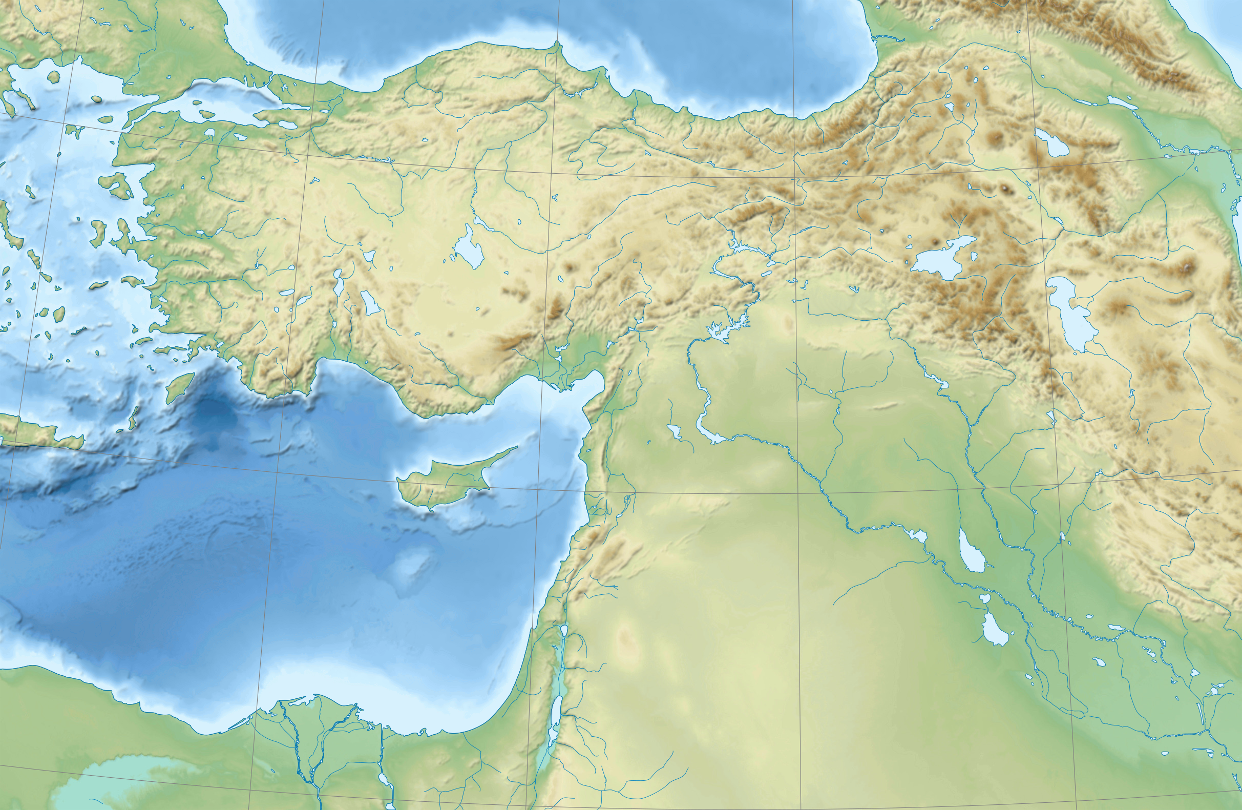
| 15:37, 17 آگسٽ 2009 |  | 2,425 × 1,581 (3 KB) | Sémhur | {{Information |Description={{en|1=Blank physical map of the Near East}} {{fr|1=Carte physique vierge du Proche-Orient.}} |Source={{own}} |Author=Sémhur |Date=2008-08-17 |Permission= |other_versions |
ڳنڍڻا
هن فائيل سان هيٺيان صفحا ڳنڍيل آهن.
گلوبل فائيل جو استعمال
ھيٺيون وڪيز بہ ھيءُ فائيل استعمال ڪن ٿيون:
- ar.wikipedia.org تي استعمال
- arz.wikipedia.org تي استعمال
- azb.wikipedia.org تي استعمال
- bn.wikipedia.org تي استعمال
- de.wikipedia.org تي استعمال
- en.wikipedia.org تي استعمال
- Near East
- Retjenu
- Ottoman Army (1861–1922)
- Module:Location map/data/Ottoman Empire1914
- User:Zoeperkoe/sandbox
- Module:Location map/data/Ottoman Empire1914/doc
- User:Falcaorib
- User:Kentronhayastan/Origin of the Armenians
- Causes of the Armenian genocide
- User:Maka'alaKaono/sandbox
- User:Maka'alaKaono/Retjenu
- fr.wikipedia.org تي استعمال
- ku.wikipedia.org تي استعمال
- la.wikipedia.org تي استعمال
- pt.wikipedia.org تي استعمال
- ru.wikipedia.org تي استعمال
- si.wikipedia.org تي استعمال
- th.wikipedia.org تي استعمال
- war.wikipedia.org تي استعمال
- zh.wikipedia.org تي استعمال