
فائل:TumbaIbnBatuta.jpg
هن پيش-نگاھ جي ماپ: 800*600 پڪزلس. ٻيا تحلل:320*240 پڪزلس | 640*480 پڪزلس | 1,024*768 پڪزلس | 1,280*960 پڪزلس | 2,560*1,920 پڪزلس | 3,072*2,304 پڪزلس
اصلوڪو فائيل (3,072 × 2,304 عڪسلون، فائيل سائيز: 1.79 MB، MIME ٽائيپ: image/jpeg)
تَتُ
| تشريح |
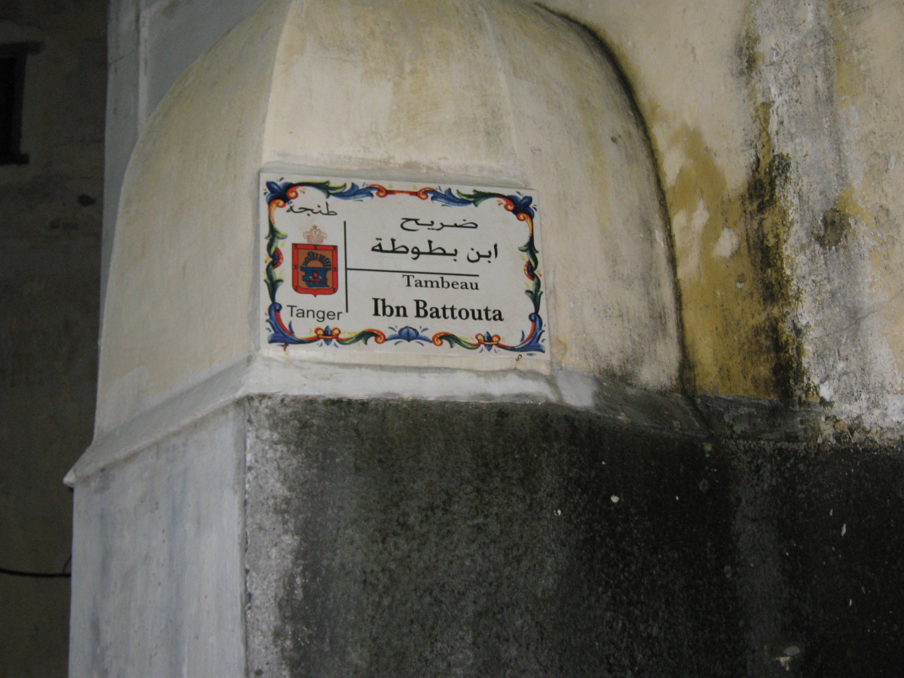
English: Grave of Ibn Battuta (French word "tombeau" misspelled). |
| تاريخ | |
| ذريعو | Photograph from a friend. |
| ليکڪ | Ruben |
| Camera location | | View this and other nearby images on: OpenStreetMap |
|---|
لائيسنسڪاري
| I, the copyright holder of this work, release this work into the public domain. This applies worldwide. In some countries this may not be legally possible; if so: I grant anyone the right to use this work for any purpose, without any conditions, unless such conditions are required by law. |
فائيل جي سوانح
ڪنھن بہ تاريخ/وقت تي ٽڙڪ ڪري ڏسندا تہ ان وقت اهو فائيل ڪيئن هو.
| تاريخ/وقت | آڱوٺي ننھن | ماپَ | واپرائيندڙ | راءِ | |
|---|---|---|---|---|---|
| موجود نسخو | 21:07, 20 فيبروري 2009 | | 3,072 × 2,304 (1.79 MB) | Ricardogpn | {{Information |Description={{en|1=Grave of Ibn Battuta}} |Source=Photograph from a friend. |Author=Ruben |Date=2009-02-31 |Permission= |other_versions= }} N 35 47 15, W 5 48 37 <!--{{ImageUpload|full}}--> |
ڳنڍڻا
هن فائيل سان هيٺيان صفحا ڳنڍيل آهن.
گلوبل فائيل جو استعمال
ھيٺيون وڪيز بہ ھيءُ فائيل استعمال ڪن ٿيون:
- ar.wikipedia.org تي استعمال
- ary.wikipedia.org تي استعمال
- ast.wikipedia.org تي استعمال
- bn.wikipedia.org تي استعمال
- ca.wikipedia.org تي استعمال
- en.wikipedia.org تي استعمال
- en.wikivoyage.org تي استعمال
- es.wikipedia.org تي استعمال
- fr.wikipedia.org تي استعمال
- gl.wikipedia.org تي استعمال
- hu.wikipedia.org تي استعمال
- hy.wikipedia.org تي استعمال
- id.wikipedia.org تي استعمال
- it.wikipedia.org تي استعمال
- ja.wikipedia.org تي استعمال
- kab.wikipedia.org تي استعمال
- kn.wikipedia.org تي استعمال
- ko.wikipedia.org تي استعمال
- la.wikipedia.org تي استعمال
- ms.wikipedia.org تي استعمال
- nn.wikipedia.org تي استعمال
- shi.wikipedia.org تي استعمال
- sl.wikipedia.org تي استعمال
- sv.wikipedia.org تي استعمال
- tt.wikipedia.org تي استعمال
- www.wikidata.org تي استعمال